Photos and story by Stephen Flanders, Norwich Trails volunteer
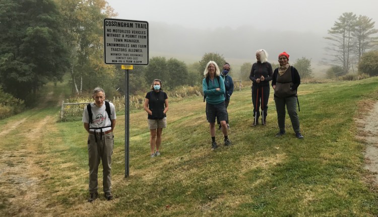
On September 26th, five explorers and two hosts assembled at the trailhead to the Cossingham Trail off of Bragg Hill Road for the fifth hike of the Discover Norwich Trails program. Nearby Cossingham farm was owned by a former slave, Richard Cossingham, Sr., who settled in Norwich and in 1894 bought property in this neighborhood.
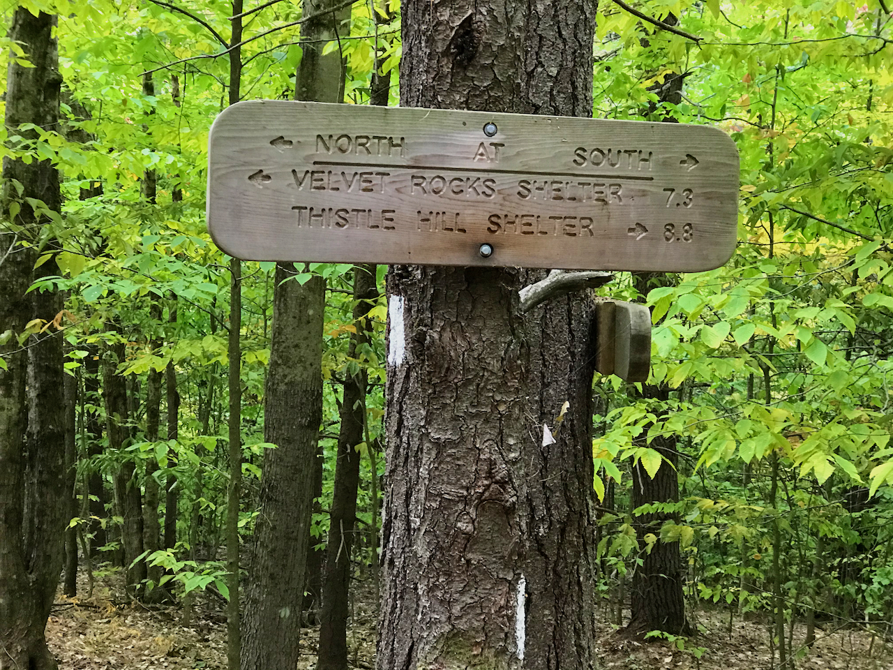
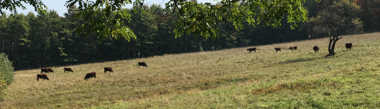
The group set off on the Cossingham Trail in the morning fog, ascending adjacent to a conserved meadow with grazing cattle. They followed the trail to the rise in the land where it intersects with the Appalachian Trail (AT). There, they contemplated both Maine with its Mt. Katahdin and Georgia with its Springer Mountain as the two ends of the AT. They decided to head towards the latter to find the hike’s destination, the Happy Hill Shelter.
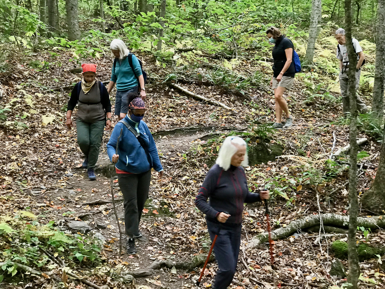
The AT winds, climbs, and descends many times through some scenic ravines along the way to Happy Hill. We stopped to identify a crossing point where hikers can either turn right and climb uphill towards the Tucker Trail or turn left and descend to Joshua Road where it comes over from the Jericho District of Hartford. Both trails are parallel to the AT at this point, but converge with the AT to the west.
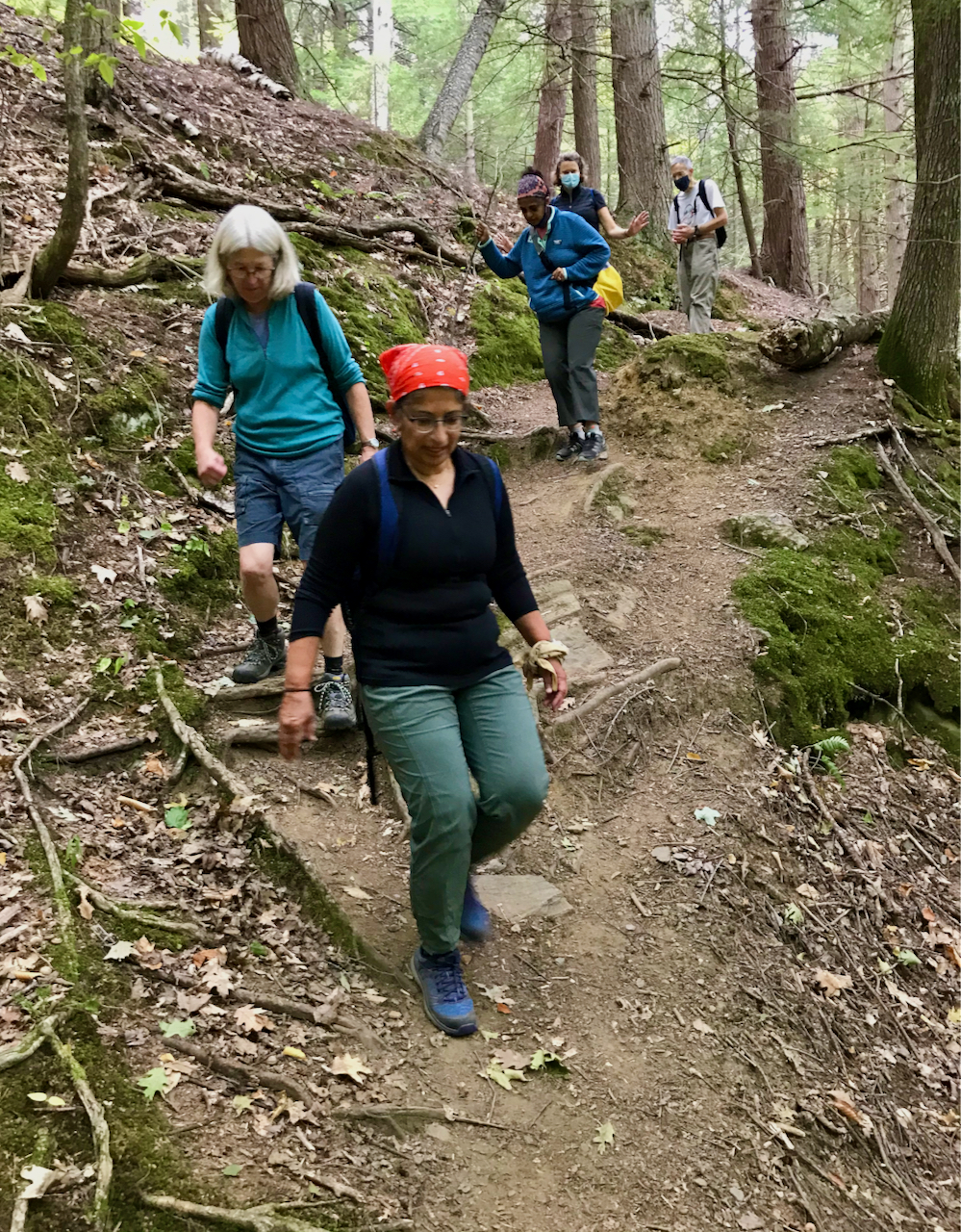

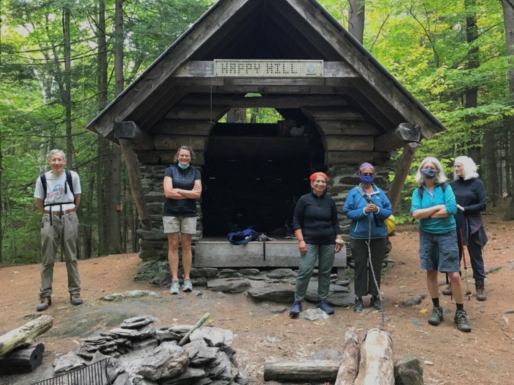
After about two miles of walking, the group found the turnoff to the Happy Hill Shelter, an open-faced rough masonry and log structure built by the Dartmouth Outing Club in 1998 to replace a dilapidated 1918 structure that, until its demolition, had been the longest-serving shelter on the AT. According to one source, “Happy Hill” is a transference from “nearby Happy Valley”. Having maintained a commendable pace, the group enjoyed an early lunch there. A pair of section hikers was already in residence, enjoying a lay day.
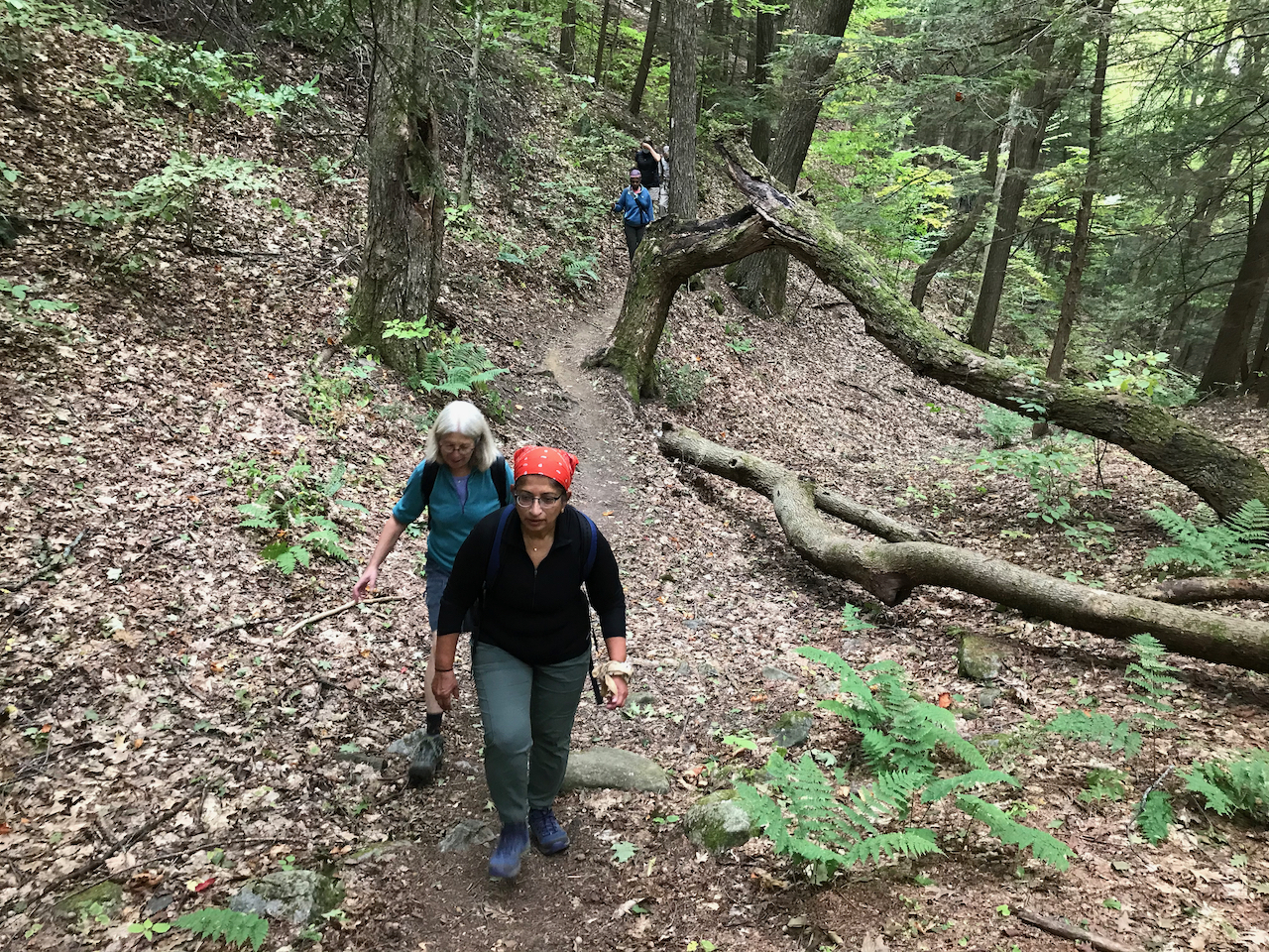
The return walk was via the historical route of the AT, along Dothan Brook, where we intersected the Joshua Road, coming from the Jericho District and continued to the junction with the Cossingham Trail. There are at least two house and barn foundations in this segment, one on each side. Along the way, we trod on a section of road that is subject to frost heaving in winter and is the subject of a photograph in Wikipedia, showing the innards of a heave.
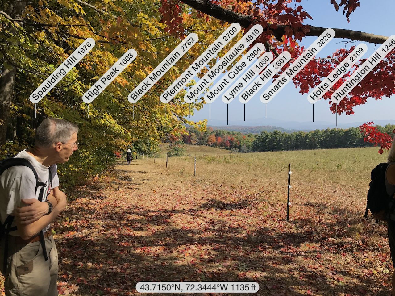
Crossing our path at the AT junction, the group continued back to the open lea to enjoy the promised easterly views of the White Mountains from Moose Mountain (south) to Mount Moosilauke (north), slightly obscured by smoke from the western fires.


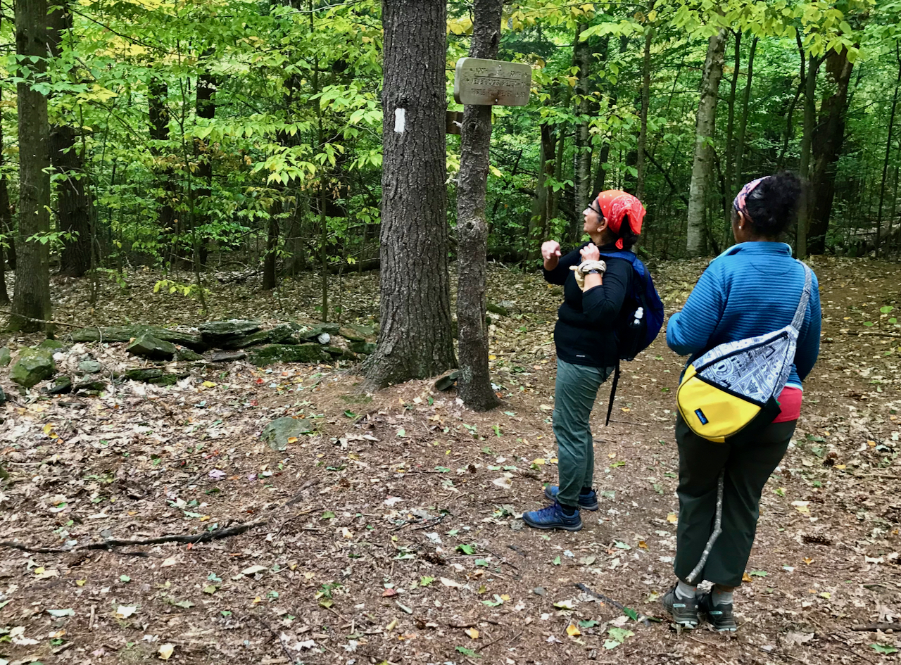
On our hike, we encountered two notable sights: One was a naturalistic installation of nuts and other woodland items, perhaps placed by a Druidic squirrel. The other was a garter snake that we found in the parking area looking for safe shelter. According to Wikipedia, “About a third of adult humans are ophidiophobic, making this the most common reported phobia.” Of course, ophidiophobia is the abnormal fear of snakes. Except for the elusive timber rattler in the western part of the state, Vermont’s snakes are harmless to people.


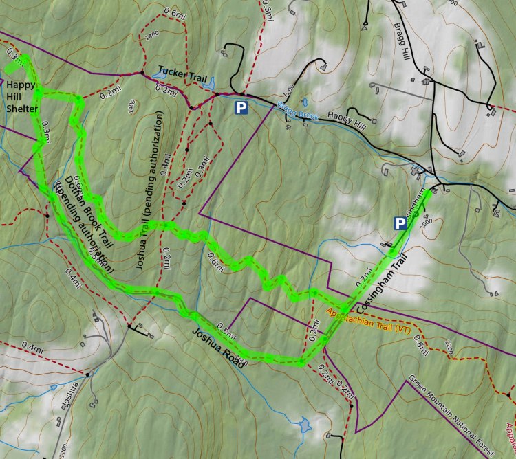
This hike was part of the Discover Norwich Trails program, which features a different trail on the last Saturday of the month, through October. Here’s a map for the 4.1-mile-long Cossingham-AT loop.
For other completed Norwich Trails Discovery hikes, click here.
